

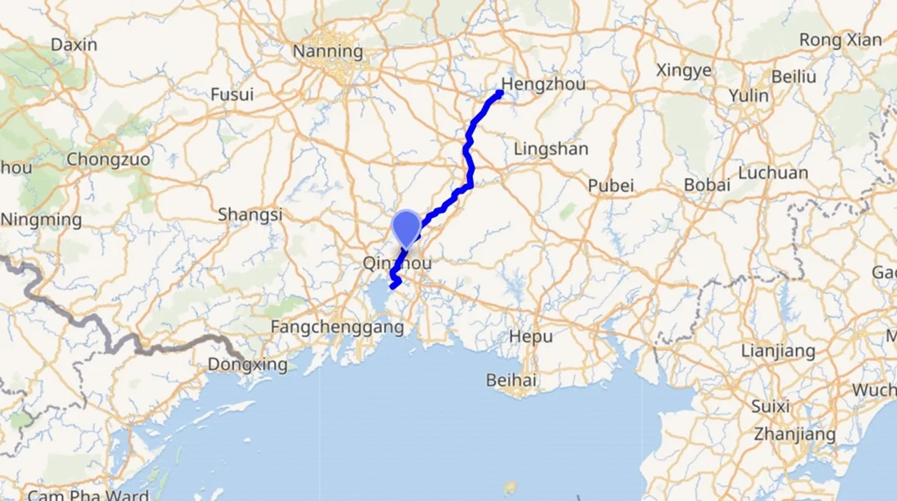
The Pinglu Canal will become the shortest, most economical and highest-efficiency sea-access channel for China’s southwestern inland regions
China has released special nautical charts for the seaward approaches of the Pinglu Canal, alongside full installation of navigation aids across its coastal section.
These two key deliverables establish a complete maritime safety system covering chart services and channel navigation markers, clearing the path for the waterway’s official inauguration on 16 September.
The 134.2-kilometre Pinglu Canal represents China’s first nationally planned river-to-sea canal since 1949. Serving as the core backbone of the New International Land-Sea Trade Corridor, the waterway connects the Xijiang River inland shipping network with the Beibu Gulf in Guangxi Zhuang Autonomous Region, with designed navigability for vessels of up to 5,000 metric tons.
Upon official commissioning, the landmark infrastructure will cut the traditional shipping distance between southwest China and Asean markets by 560 kilometres, reducing regional logistics costs by 18% to 30%.
The canal breaks long-standing geographical bottlenecks restricting river-sea intermodal connectivity in Guangxi, poised to reshape the spatial pattern of trade and economic cooperation between China and Asen countries.
Located at the southern end of the canal, Beibu Gulf Port has grown into a critical gateway for China-Asean trade. Its container throughput has achieved explosive growth, surging from 2.28 million teu in 2017 to 10 million teu in 2025, supported by a mature shipping network radiating major Asean hub ports.
Backed by robust industrial and trade ties, China and Asean have retained their status as each other’s largest trading partners for six consecutive years. At the regional level, Asean has remained Guangxi’s top trading partner for 26 straight years.
In the first half of 2026, total China-Asean trade volume hit RMB4.34 trillion ($640 billion), registering an 18.2% year-on-year increase.
Source: SeatradeMaritime News
Share:




<p>Time: November 2025<br /> By: WTO and International Trade Group, Legal Department – VCCI</p>
